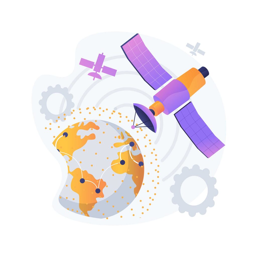
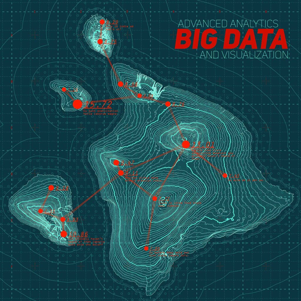
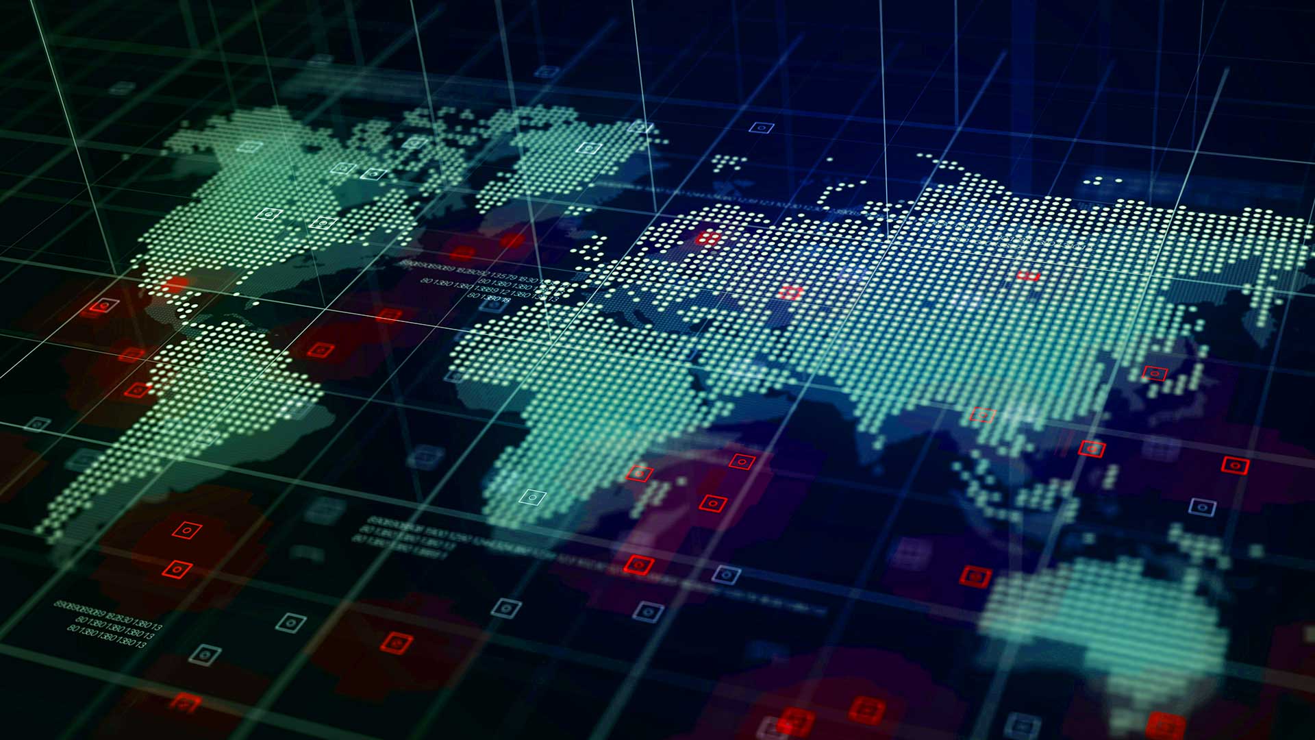
Geospatial technology is a rapidly growing field that utilizes data and information about geographic locations to create maps, models, and other spatial representations. This technology has a wide range of applications, from urban planning and transportation to agriculture and environmental management. However, one area where geospatial science and technology has had a particularly significant impact is in disaster management.
In recent years, we have seen a growing number of natural disasters and emergencies around the world, from hurricanes and wildfires to earthquakes and pandemics. These events can have devastating consequences, leading to loss of life, property damage, and economic disruption. Geospatial science and technology has emerged as a powerful tool for managing and responding to these disasters, providing critical information to emergency responders, government agencies, and other stakeholders.
The importance of geospatial information technology in disaster management cannot be overstated. By using data and analysis tools to create detailed maps and models of affected areas, geospatial information technology can help emergency responders and decision-makers make more informed decisions and take more effective actions. It can also improve coordination between different agencies and organizations, leading to more efficient and effective disaster response.
What is geospatial technology used for?
Geospatial technology is a broad term that refers to a range of tools and techniques used to collect, analyze, and present geographic data. At its core, geospatial science and technology is all about understanding and visualizing the spatial relationships between different objects and features in the world around us. Some common applications of geospatial information technology include:
- Urban planning and development: geospatial information technology can be used to map out the layout of cities and towns, analyze traffic patterns, and plan transportation infrastructure.
- Environmental management: geospatial information technology can help track and analyze changes in natural resources and ecosystems, monitor pollution levels, and predict the impact of climate change.
- Agriculture: geospatial information technology can be used to optimize crop yields, monitor soil moisture levels, and track weather patterns.
- Natural resource management: geospatial information technology can help identify and map out resources such as minerals, oil, and gas, and plan for their extraction.
- Disaster management: geospatial information technology is essential for disaster preparedness, response, and recovery, providing critical information to emergency responders and decision-makers.
The importance of geospatial information technology in various fields cannot be overstated. By providing accurate and detailed information about the spatial relationships between different features and objects, geospatial science and technology can help decision-makers make more informed choices and take more effective actions. This can lead to more efficient resource management, more sustainable development, and better disaster response and recovery.

Types of geospatial technology
There are several different types of geospatial science and technology, each with its own unique set of features and applications. Here are five of the most common types of geospatial information technology:
- Geographic Information Systems (GIS): GIS is a software-based system that allows users to capture, store, analyze, and display spatial data. It is commonly used in fields such as urban planning, environmental management, and disaster management.
Examples of GIS include ArcGIS, QGIS, and Google Earth
Data sources for GIS include satellite imagery, aerial photography, and ground surveys.
- Remote Sensing: Remote sensing involves using sensors on aircraft or satellites to capture images of the Earth’s surface. These images can be used to create maps and models, track changes in natural resources, and monitor environmental conditions.
Examples of remote sensing include Landsat, Sentinel, and MODIS.
Data sources for remote sensing include satellite imagery and aerial photography.
- Global Positioning Systems (GPS): GPS is a technology that uses satellite signals to determine the precise location of a device or object. It is commonly used in navigation, mapping, and surveying.
Examples of GPS include Garmin, TomTom, and smartphones with GPS capabilities.
Data sources for GPS include satellite signals and ground-based beacons.
- Light Detection and Ranging (LiDAR): LiDAR is a technology that uses lasers to measure the distance between a sensor and the Earth’s surface. This can be used to create detailed 3D models of terrain and objects, and is commonly used in fields such as forestry and archaeology.
Examples of LiDAR include Optech, Riegl, and Velodyne.
Data sources for LiDAR include laser sensors and ground-based surveys.
- Geospatial Analysis: Geospatial analysis involves using statistical and mathematical models to analyze and interpret spatial data. This can include identifying patterns and trends in data, creating predictive models, and developing risk assessments.
Examples of geospatial analysis software include GeoDA, IDRISI, and ESRI ArcGIS Spatial Analyst.
Data sources for geospatial analysis include GIS data, remote sensing data, and survey data.
The data sources for geospatial information technology can include satellite imagery, aerial photography, ground surveys, and other sources of spatial data. By combining and analyzing data from these sources, geospatial application technology can provide critical insights and information to decision-makers in a variety of fields.

Benefits of geospatial technology
The technology has revolutionized the way disaster management is handled, providing many benefits to those involved in emergency response efforts. Here are some of the key advantages of using geospatial science and technology in disaster response:
- Improved situational awareness: Geospatial science and technology allows disaster responders to gain a better understanding of the situation on the ground. With detailed maps and real-time data, responders can identify affected areas, assess damage, and prioritize their efforts accordingly.
- Faster response times: Geospatial application technology enables disaster responders to quickly locate and reach affected areas. By using GPS, responders can navigate to the affected areas with ease, even in the most challenging conditions.
- Enhanced decision-making: Geospatial information technology provides decision-makers with critical information to make informed decisions. By integrating geospatial data with other data sources, decision-makers can gain a better understanding of the situation, and make more informed choices.
- Improved communication: Geospatial technology can improve communication among responders, allowing them to share critical information quickly and efficiently. With real-time data feeds and interactive maps, responders can coordinate their efforts and work more effectively as a team.
- Increased safety: Geospatial science and technology helps ensure the safety of disaster responders by providing them with critical information about hazards and risks. With detailed maps and real-time data, responders can avoid dangerous areas and make better decisions to keep themselves and others safe.
There are many successful implementations of geospatial information technology in disaster management. For example, during Hurricane Harvey in 2017, the Texas Military Department used geospatial information technology to map the flooded areas and coordinate rescue efforts. Similarly, during the 2018 California wildfires, geospatial technology was used to track the fire’s spread and plan evacuations.
The benefits of geospatial science and technology in disaster management are clear. By providing responders with critical information, faster response times, and better decision-making tools, geospatial science and technology can help save lives and minimize damage in the face of disasters.
Geospatial technology and its relevance to disaster management
Geospatial information technology is becoming increasingly important in the realm of disaster management. By using geographic information and analysis tools, it is possible to better understand and respond to natural disasters, such as earthquakes, hurricanes, and floods. Here are some ways in which geospatial science and technology is improving disaster management:
Importance of geospatial information technology in disaster preparedness and response is critical in the preparation and response phases of disaster management. Before a disaster strikes, geospatial analysis can help identify areas that are at risk, map out potential evacuation routes, and locate emergency resources. During a disaster, this technology can be used to quickly assess damage, identify areas in need of assistance, and coordinate response efforts.
Explanation of how geospatial information technology is used in disaster management geospatial science and technology is used in a variety of ways during disaster management. Geographic Information Systems (GIS) can be used to map out hazard zones, assess the damage caused by a disaster, and help prioritize response efforts. Remote sensing technology can be used to monitor changes in the environment, such as changes in water levels or land use. Global Positioning Systems (GPS) can be used to track response teams and coordinate relief efforts. In addition, mobile mapping technology can be used to quickly collect and analyze data in the field.
Examples of geospatial technology use in disaster management There are many examples of geospatial application technology being used successfully in disaster management. For example, after the 2011 earthquake and tsunami in Japan, geospatial analysis was used to map the extent of the damage and identify areas in need of assistance. GIS was also used to help coordinate response efforts and ensure that resources were deployed efficiently. Similarly, after Hurricane Katrina hit New Orleans in 2005, GIS was used to identify areas of the city that were most vulnerable to flooding and to help plan the evacuation of residents.
Geospatial information technology is an essential tool in disaster management. By using geospatial analysis tools, emergency responders can better prepare for disasters, respond more quickly to emergencies, and coordinate relief efforts more effectively. With the help of geospatial technology, communities can be better protected from natural disasters and recover more quickly when they do occur.
FAQs
What is the meaning of geospatial technology?
Geospatial science and technology refers to any technology that utilizes geospatial data to provide location-based insights and analysis. This includes tools such as Geographic Information Systems (GIS), Global Positioning Systems (GPS), remote sensing, and more.
Is GIS used in GPS?
While GIS and GPS are both geospatial technologies, they serve different purposes. GIS is used for data analysis and visualization, while GPS is used for precise positioning and navigation. However, GIS data can be used to enhance GPS accuracy and provide more context for location-based information.
Who uses geospatial data?
Geospatial data is used by a wide range of industries and organizations, including government agencies, non-profits, environmental groups, urban planners, and businesses. It is used for tasks such as land management, disaster response, natural resource exploration, and more.
In conclusion, geospatial technology has revolutionized the way disaster management is approached. The technology has proven to be invaluable in both disaster preparedness and response. Its use in disaster management has resulted in more efficient response times, better resource allocation, and more effective damage assessment. The importance of geospatial information technology cannot be overstated, as it has become a crucial tool for disaster management professionals.
As technology continues to advance, we can expect to see even more advancements in geospatial science and technology. This will result in even more accurate and effective disaster management techniques. The future of geospatial science and technology is bright, and it will continue to play a critical role in managing disasters.
Overall, geospatial science and technology is an incredibly powerful tool that should be embraced by all disaster management professionals. With its numerous benefits and applications, it has proven to be a game-changer in the field. It is clear that geospatial science and technology will continue to be a vital tool in managing disasters, and its importance cannot be overstated.
Image by natanaelginting on Freepik


